

Hannaway & Hannaway Land & Chartered Engineering Surveyors
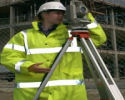
Hannaway & Hannaway, are a leading firm of Chartered Surveyors specializing in the provision of Land and Engineering Surveying Services to the Construction, Engineering and Legal sectors throughout Ireland and beyond.
 As
members of the Royal Institution of Chartered Surveyors (RICS), The Irish
Institute of Surveyors (IIS) and the Chartered Institute of Building (CIOB), we
are well qualified to provide you with a complete and professional Survey
Service
As
members of the Royal Institution of Chartered Surveyors (RICS), The Irish
Institute of Surveyors (IIS) and the Chartered Institute of Building (CIOB), we
are well qualified to provide you with a complete and professional Survey
Service
With extensive experience in Land and Building Surveying, mapping for Legal applications (boundary determination, land subdivision and area verification) you can be sure that we have the professionalism and expertise to assist you with your project.
History
As a Company we have over 30 years experience between the partners carrying out surveys ranging from "back garden" sites to those of many hundreds of acres for mixed use
leisure development 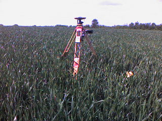
We have invested heavily in new technology to enable us to offer the most comprehensive and appropriate solution you your survey needs. We believe that our clients should have the choice to avail of a "value added service", a service which means that spatial data is presented in the most appropriate 2D, 3D and Virtual Reality Mapping format that allows the information to be best understood by all who need to access it and we strive to be totally professional in all our dealings.